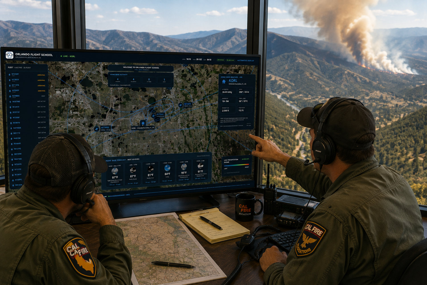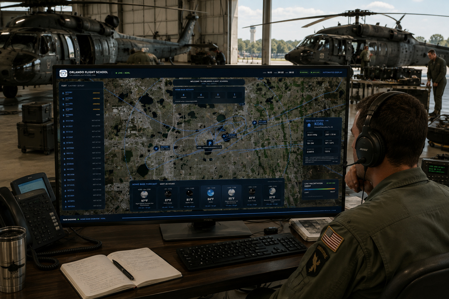
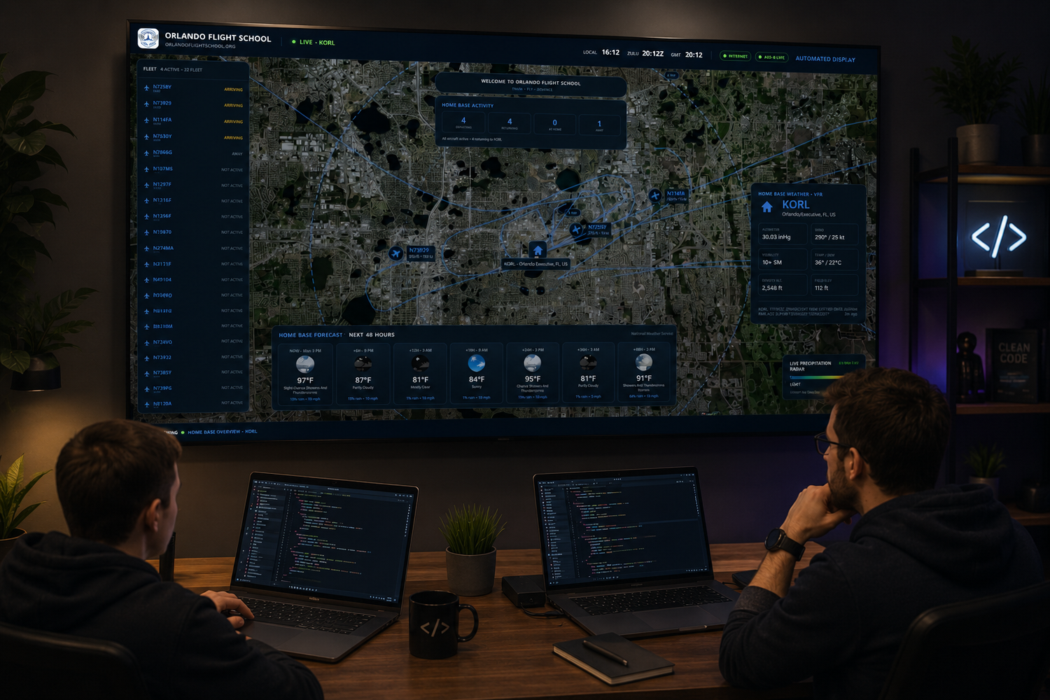
I’ve been working on another software project lately, this one called FlightWatch.
The idea actually came from something pretty simple. I spend a lot of time around aviation operations, and there’s usually a big television somewhere — in a lobby, operations area, classroom, crew room or near dispatch. I started thinking about how useful (and frankly, how cool) it would be if that screen could give you a live picture of what was happening with an organization’s aircraft without anyone having to interact with it.
That turned into FlightWatch.
While the original idea came from the flight-school environment, I quickly realized there was no reason to limit it to flight schools. Any organization operating a fleet of aircraft could use the same concept — flight departments, flying clubs, charter operators, universities, training organizations, public-safety aviation units or simply a company that wants a live view of its aircraft.
FlightWatch is a Windows application designed to run full-screen and unattended on a large TV or monitor. You configure the operation’s home airport and aircraft registrations, and from that point the display essentially takes care of itself.
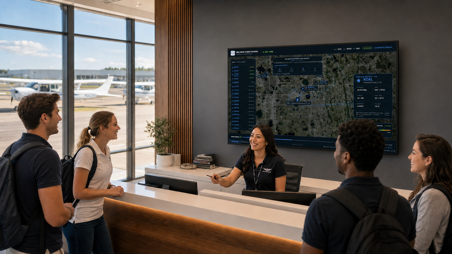
The map starts at the home airport and, as aircraft from the configured fleet become active, automatically moves between them. Instead of showing every airplane flying around the area, FlightWatch filters the ADS-B traffic down to your fleet.
When an aircraft is flying, the display shows its altitude, groundspeed, heading, aircraft type and the age of its last position report. It also keeps a rolling one-hour flight trace, so you can see where the aircraft has been rather than just where it happens to be at that moment.
When several aircraft are out flying, FlightWatch automatically determines which ones to feature. Arriving and airborne aircraft receive priority, and aircraft at the same priority are sorted by their distance from the home airport. Aircraft that aren't currently active remain listed without unnecessarily taking over the map.
I wanted weather to be a big part of it too.
When you're dealing with airplanes, simply showing their locations wasn't enough.
The home-airport display includes current winds, visibility, altimeter setting, temperature, dew point, density altitude and field elevation. There's also a graphical forecast looking ahead as far as 48 hours, along with a continuously scrolling raw METAR.
Nearby airports are color-coded by VFR, MVFR, IFR and LIFR conditions, and I added optional animated precipitation radar over the satellite map.
So even if none of the fleet is currently flying, the screen still provides a useful snapshot of what's happening around the home airport.
The important part: nobody has to operate it.
That has really been one of my main goals with FlightWatch.
I don't want this to become another computer in an operations area that requires someone to constantly click things, move the map around or make sure an application is still running.
Once FlightWatch is configured, it's intended to behave like a kiosk.
An organization can customize its name, logo, website and welcome message; enter its fleet; adjust how long the display stays on the home airport or an aircraft; change zoom levels; enable range rings; adjust the radar; and configure other display options.